Siachen: All You Should Know About The World’s Costliest Battlefield

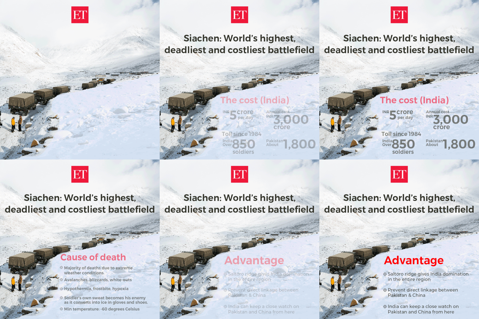
Six people, including four Indian Army personnel and two civilian porters were killed two days ago after they were hit by an avalanche in the Siachen Glacier. This is not the first time when Indian Army or Pakistan Army — both present at what is the highest (around 24,000 feet) battlefield in the world — have lost soldiers due to extreme climate — in this region, conditions are so severe that even helicopters have to exceed their service envelope.

Life is tough at the Siachen glacier, spread over a 76 km area, due to sub-zero temperatures that dip below -60 degrees, constant threat of avalanches, crevasses on the glacier, high-speed winds and a range of potentially fatal altitude-related ailments.
Here is everything you should know about the history of the place and its strategic importance for India:
Why Is Siachen Important?
Why Siachen Is Such A Difficult Area To Defend?
What’s The Cost of Staying At Siachen?
How And Why India Occupied Siachen Through ‘Operation Megahdoot’?
Pakistan was first to see the potential of this strategically-important unoccupied area. However it didn’t deploy troops till 1970 but used to send mountaineering expeditions to the glaciers. In early 1981, Indian Army Col Narinder Bull Kumar sounded the alarm over Pakistan’s expeditions in the region. After that the army gave him the permission to map the entire region. Sensing Indian Army’s interest in the region, Pakistan Army planned a mission to occupy the area but was hit by an intelligence failure. Pakistan had ordered mountaineering gears from a London company who was also a supplier for India. India got the information about Pakistan’s acquisitions. In April 1984, India urgently dispatched troops to Siachen under secret Operation Meghadoot. Indian troops reached the glacier a week earlier than Pakistan. By the time Pakistan soldiers reached the region, India had already got control of the glacier and the adjacent Saltoro ridge, using Col Kumar's maps. One of the key Indian installations in Siachen is named Kumar Base after him.
Source>>
Source>>


No comments:
Post a Comment